12 days
5100 m
Challenging
Private Vehicle
Autumn / Spring
3 Star Standard
Kathmandu
Kathmandu
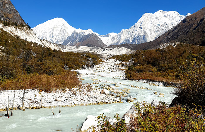

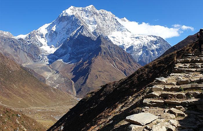
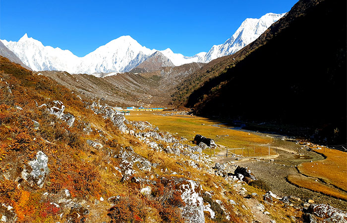


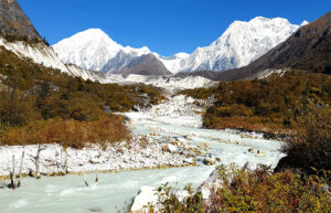


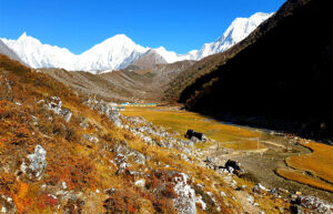

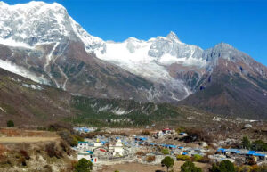
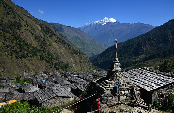
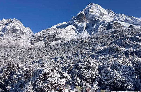
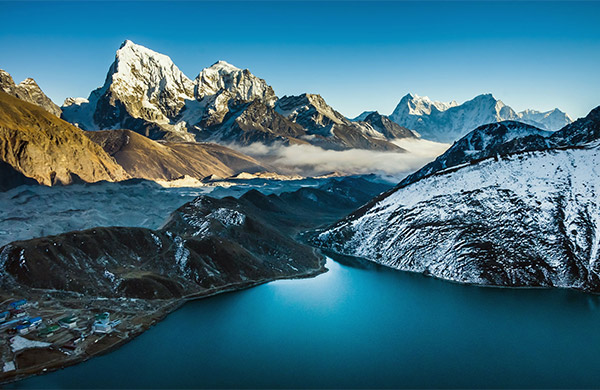
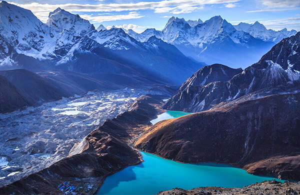
The Manaslu Circuit Trek is one of Nepal’s most breathtaking and remote trekking routes. It takes you around Mount Manaslu, the world’s 8th highest peak. Along the way, trekkers experience diverse landscapes, from lush subtropical forests to rugged alpine terrains. With stunning views of the Himalayas at every turn, it offers a truly unique adventure.
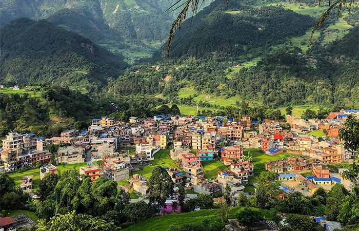
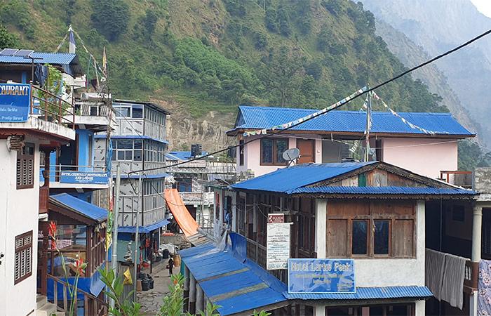
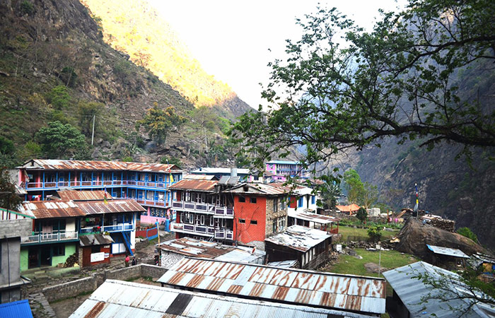
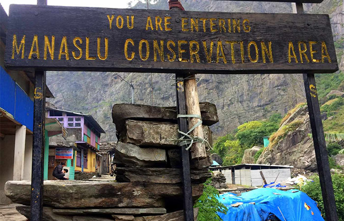
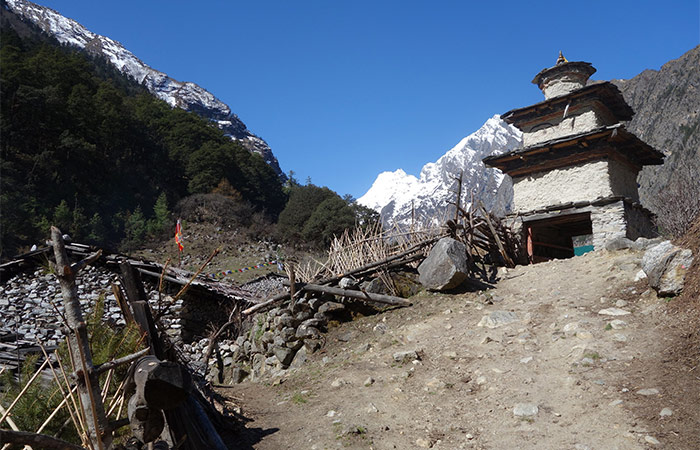
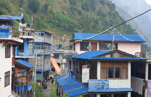
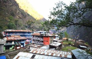
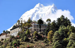
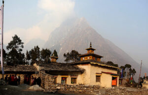
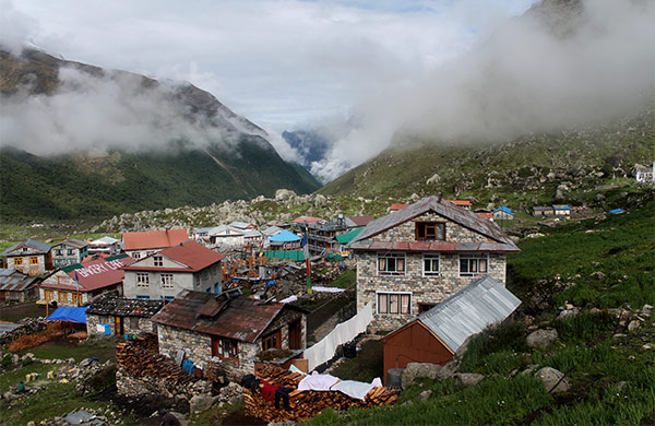
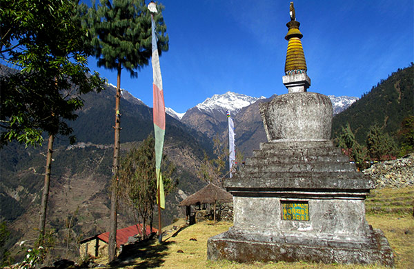
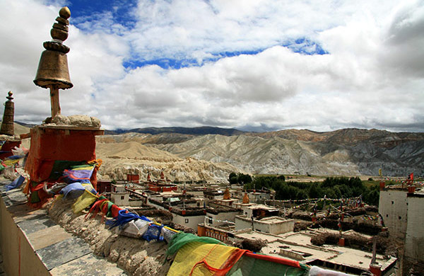
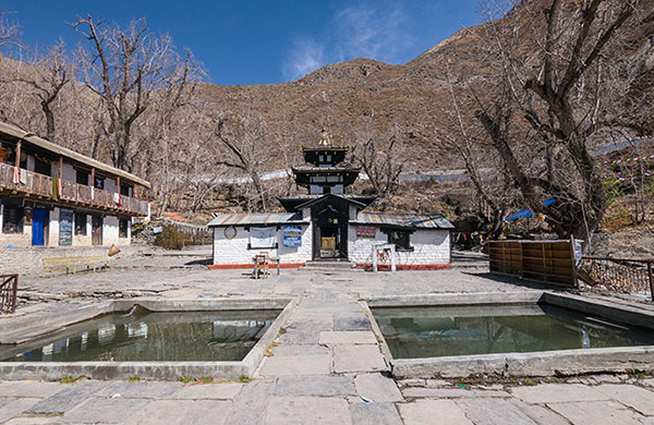
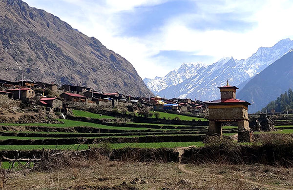
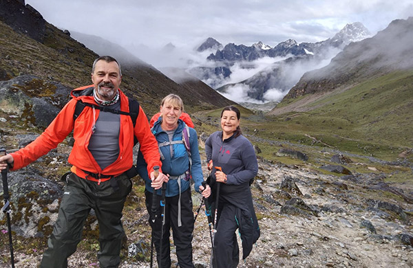
Unlike busier trekking areas, the Manaslu region is far less commercialized. This means you can enjoy peaceful trails without the crowds. The trek passes through remote villages, where the Tibetan culture shines through. From ancient monasteries to prayer flags fluttering in the wind, the cultural experience is rich and authentic.
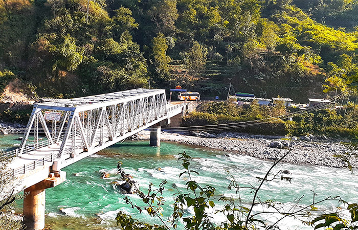
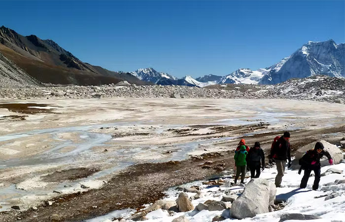
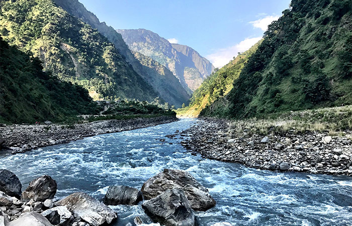
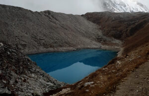
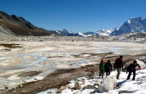
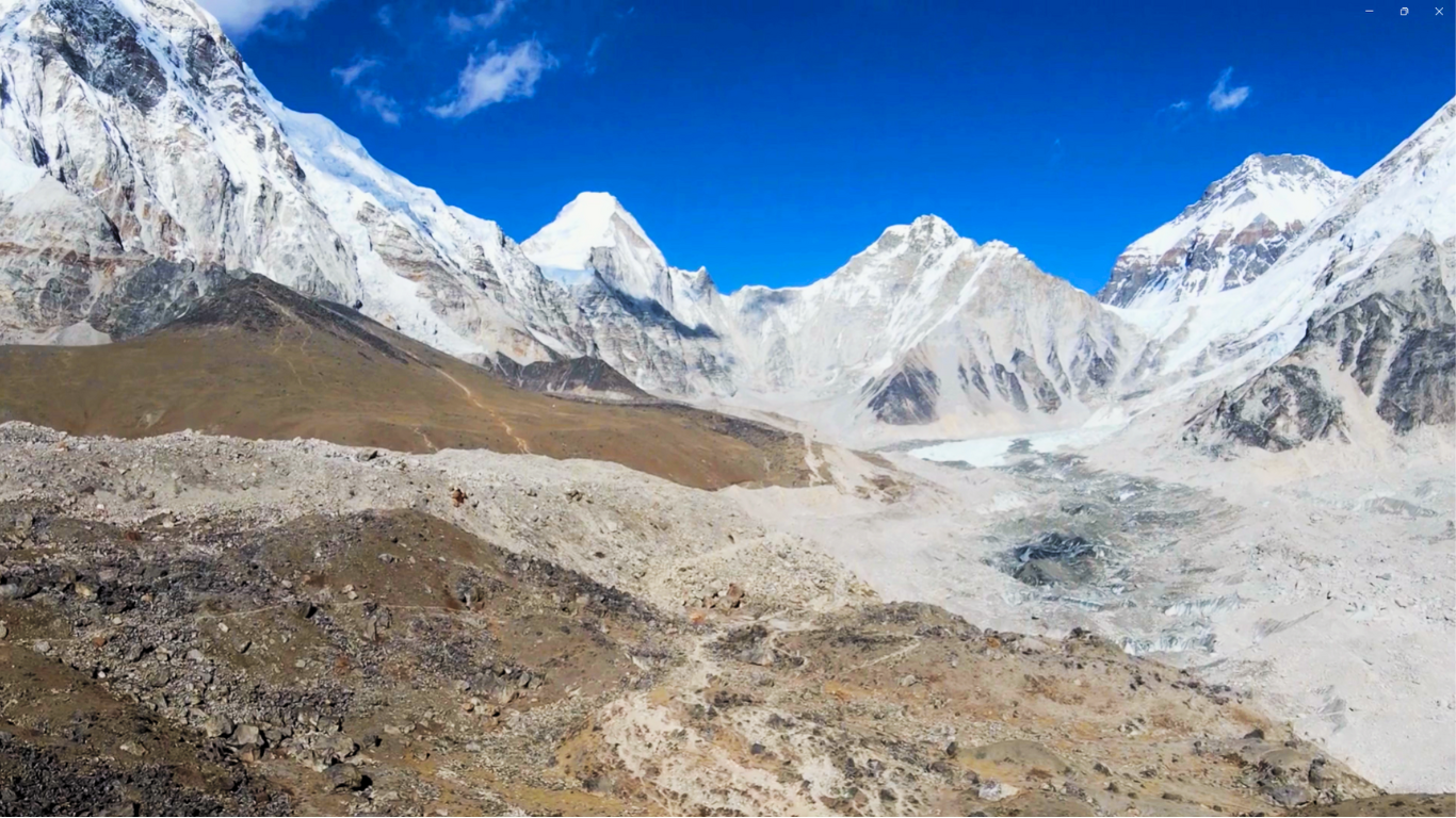
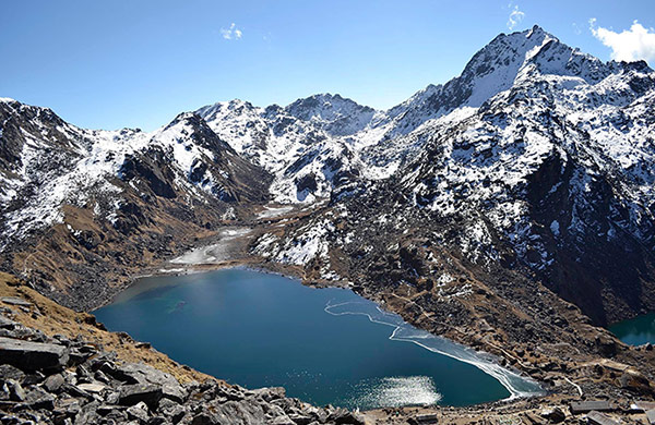
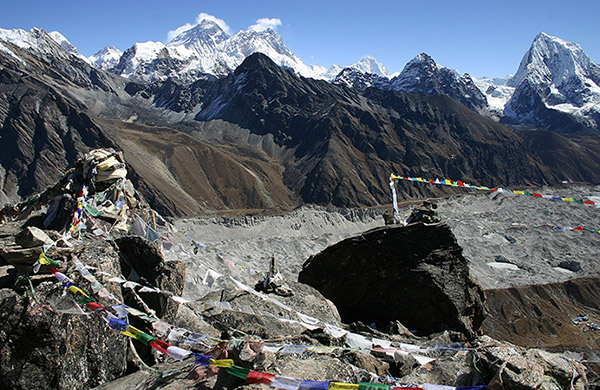
One of the trek’s main highlights is crossing the Larkya La Pass at 5,160m. The panoramic views of Manaslu and neighboring peaks from this high point are simply unforgettable. Moreover, the trail follows the scenic Buri Gandaki River, leading trekkers through diverse landscapes, including terraced fields and glacial valleys.
Throughout the trek, the Tibetan influence is evident. From local customs to languages and traditional monasteries, you’ll feel immersed in the region’s deep cultural heritage. Trekking here offers a chance to interact with locals, gaining insight into their way of life.
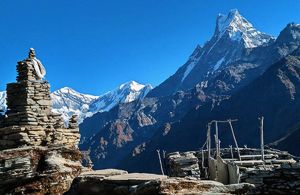
This trek lies in off the beaten path, With fewer tourists compared to other famous routes, the Manaslu Circuit Trek provides a serene trekking experience. It is ideal for adventurers seeking both natural beauty and cultural depth, offering the best of Nepal without the crowds.
Feb 19 2026 | Feb 26 2026 | Mar 03 2026 | Mar 14 2026 | Mar 22 2026 | Apr 04 2026 | Apr 14 2026 | Apr 23 2026 | Apr 29 2026
Trekking in Nepal
5/5 Excellent
Trekking in Nepal
5/5 Excellent
Trekking in Nepal
3/5 Excellent
Trekking in Nepal
3/5 Excellent
Trekking in Nepal
4/5 Excellent
Trekking in Nepal
5/5 Excellent
Trekking in Nepal
4/5 Excellent
Trekking in Nepal
4/5 Excellent
Trekking in Nepal
1/5 Excellent
Trekking in Nepal
3/5 Excellent
Trekking in Nepal
1/5 Excellent
Trekking in Nepal
1/5 Excellent
Trekking in Nepal
3/5 Excellent
Trekking in Nepal
4/5 Excellent
Trekking in Nepal
5/5 Excellent
Trekking in Nepal
3/5 Excellent
Trekking in Nepal
5/5 Excellent
Trekking in Nepal
3/5 Excellent
Copyright © 2026 Adventure Challenge Centre. All Rights Reserved
Crafted with by : Nepal-web.com